
The Vikings were more than just fierce raiders. They were master maritime navigation and explored vast seas, reaching places few had ever seen. But how did they cross treacherous waters without modern tools? Their secret lay in a blend of skill, intuition, and simple yet ingenious technology. These Norse seafarers ventured far, from the icy North Atlantic to the distant shores of North America. This blog will dive into the fascinating methods Vikings used to navigate. From sunstones to coastal clues, discover how they mastered the ancient seas and became legends of maritime exploration. Curious? Let’s set sail!
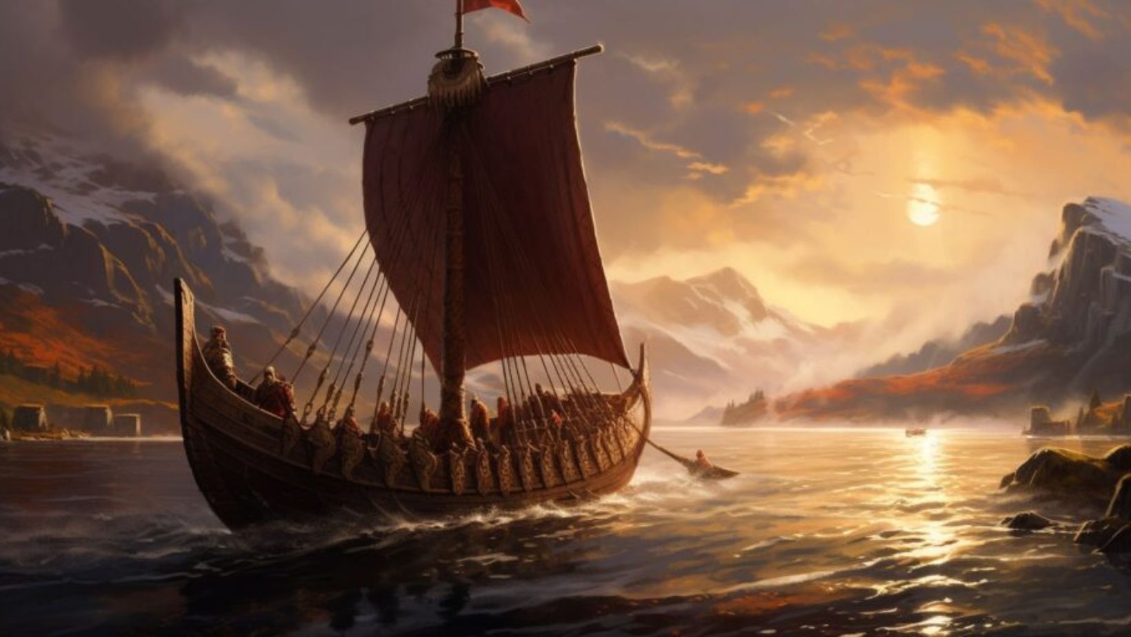
The Viking Longships as Master Maritime Navigation: Tools of the Trade
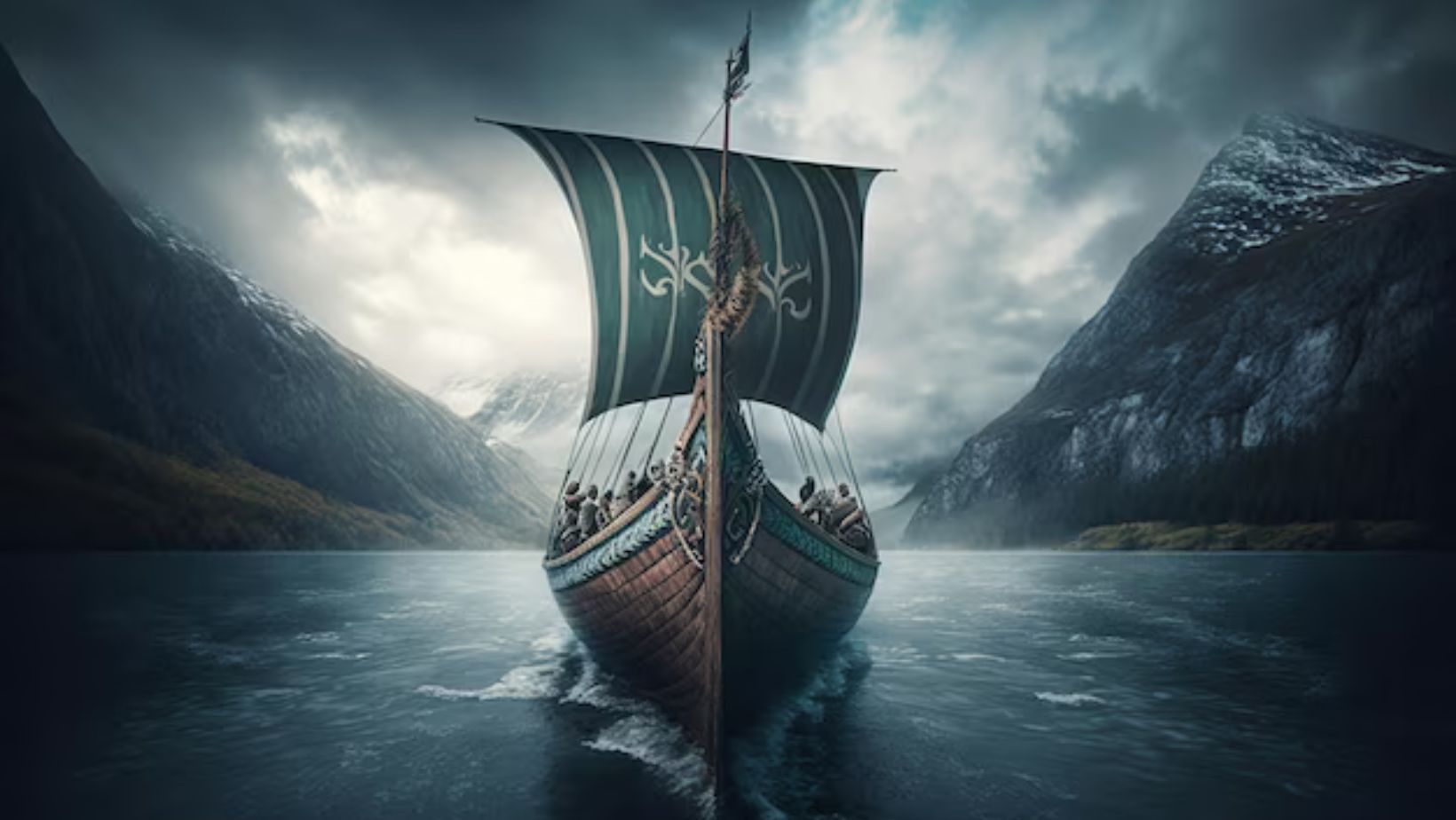
Viking longships were engineering marvels. Their sleek, shallow hulls allowed them to navigate both open seas and narrow rivers. These ships were designed for speed and flexibility, equipped with sails and oars to handle different weather conditions. This made them perfect for long-distance travel and coastal raids.
The longships had a symmetrical design, enabling them to reverse direction quickly without turning around. This was crucial when navigating unknown waters or escaping danger. The ships’ lightweight construction also allowed for easy portage across land if necessary. These unique features were essential to Viking exploration and naval dominance.
Vikings built their ships using oak, known for its strength and flexibility. They overlapped wooden planks, a technique called “clinker-built,” for extra durability. This design not only made the ships sturdy but also flexible in rough seas. A combination of craftsmanship and practicality made Viking longships the ultimate maritime tool.
With these ships, Vikings could sail vast distances, from the Mediterranean to North America. Their mastery of shipbuilding set the stage for their navigational feats. Longships were more than transportation; they were key to Viking success on the high seas. Understanding their design reveals why Vikings were exceptional navigators.
Reading the Sun and Stars: Basic Viking Master Maritime Navigation Techniques
Vikings relied heavily on the sun and stars to guide their journeys. During the day, they used the sun’s position to determine direction, especially when crossing open seas. At night, they turned to the North Star, known as “Polaris,” which always pointed north. This simple method helped them maintain their course over long distances.
Vikings also knew the importance of seasonal changes in the sky. They understood that the sun’s path varied with the seasons, affecting its position at sunrise and sunset. By observing these patterns, they could roughly estimate their latitude. This knowledge was passed down through generations, enhancing their navigational skills.
They used horizon markers to track the sun’s movement more precisely. On clear days, they would align their path with the sun’s arc, ensuring they stayed on course. Even though this method wasn’t entirely accurate, it worked remarkably well. It showed the Vikings’ deep understanding of nature and its use for navigation.
Combining solar navigation with star patterns made Vikings skilled mariners. They adapted to changing environments using only natural indicators. This natural way of navigation was vital for their success on long voyages. It laid the foundation for their exploration of new and distant lands.
The Sun Compass Master Maritime Navigation: Navigating on Cloudy Days
The Vikings used a sun compass to navigate when the sky was overcast. This simple yet clever tool helped them find their direction when the sun wasn’t visible. The sun compass was a wooden disk with a central pin that cast a shadow. By marking the shadow’s position throughout the day, they could estimate their orientation.
When clouds hid the sun, they relied on the last known shadow position. They could gauge their latitude by tracking how shadows shifted at different times. This method wasn’t perfect but gave them enough accuracy for sea travel. It showed their adaptability and understanding of natural cycles.
Archaeological finds have revealed fragments of these sun compasses in Viking sites. These artifacts indicate that Vikings refined this tool over time. Carved lines on the compass marked different seasons, allowing sailors to adjust their readings. This level of detail suggests they were skilled in using basic tools for complex navigation.
The sun compass provided a backup plan when other navigational methods failed. It allowed Vikings to sail confidently, even on cloudy days. This innovation was crucial for their long voyages across the open ocean. It highlights their ingenuity in mastering ancient maritime navigation. Master Maritime Navigation
The Sunstone as Master Maritime Navigation: Viking Magic or Scientific Tool?

The sunstone is a mysterious tool mentioned in Viking legends. It is believed to be a crystal, likely Iceland spar, that could locate the sun on cloudy or foggy days. When light passes through this crystal, it polarizes, creating patterns that point to the sun’s hidden position. This allowed Vikings to navigate when the sky was overcast.
Researchers have tested the sunstone’s effectiveness and found it surprisingly accurate. When held up to the sky, the crystal can reveal the sun’s direction within a few degrees. This would have helped Vikings maintain their course during long sea voyages. It shows their deep understanding of natural elements and how to use them.
The use of sunstones is still debated among historians. Some believe it was widely used, while others think it was rare or symbolic. However, references in ancient sagas hint at its role in navigation. If true, it would highlight the Vikings’ innovative approach to seafaring.
Whether legend or reality, the sunstone represents Viking curiosity and resourcefulness. It adds another layer to their navigational techniques. By blending myth with practical tools, they mastered the art of sailing the unpredictable seas. This balance of science and lore made them exceptional navigators. Master Maritime Navigation
Following the Coastline: Coastal Master Maritime Navigation Techniques
Vikings preferred to navigate along coastlines whenever possible. Coastal navigation provided them with visual landmarks, making it easier to maintain their course. They memorized details like cliffs, islands, and river mouths to guide their way. This method also helped them gauge their distance from home and find safe harbors.
Sailors used depth-sounding techniques to avoid underwater hazards. They dropped weighted ropes overboard to measure water depth, ensuring they stayed in safe waters. By feeling the seabed’s texture, they could identify sandy, rocky, or muddy areas. This information was crucial in finding good spots to anchor or avoid.
Vikings also noted the direction of currents and tides. Coastal waters have distinct patterns, which they learned to read over time. By understanding these natural movements, they could predict the best routes and avoid dangerous conditions. This knowledge came from years of experience and careful observation. Master Maritime Navigation
In foggy weather, they relied on sound, listening for waves crashing on rocks or birds’ calls near land. This sensory approach allowed them to sail even when visibility was poor. Coastal navigation was more than just following the shore; it involved a detailed understanding of the marine environment. This skill made Vikings experts at exploring new territories. Master Maritime Navigation
Animal Indicators: Clues from Nature
Vikings used animal behavior as natural navigation tools. They closely observed birds, especially seabirds like ravens, which rarely stray far from land. During long voyages, they released birds to see if they flew back toward the coast. If the birds did not return, it meant land was nearby in the direction they flew.
They also paid attention to whale sightings. Certain whale species stayed within specific oceanic regions or near coastlines. Noticing these marine animals helped Vikings estimate their distance from land. It provided vital clues, especially when they were out of sight of the shore. Master Maritime Navigation.
Fish and seaweed were additional indicators. Vikings knew that certain fish preferred coastal waters, so their presence often signaled proximity to land. Floating seaweed also suggested shallow waters and nearby islands. These signs guided them, helping to avoid dangerous waters and find new shores.
This natural navigation required keen observation and experience. Vikings learned these skills from oral traditions passed down through generations. By interpreting animal behavior, they could successfully explore uncharted seas. It was another example of how they relied on their environment for safe and effective navigation.
Weather Patterns and Ocean Currents
Vikings were skilled at reading weather patterns and ocean currents. Before setting sail, they studied the sky, clouds, and wind to predict weather changes. Clear skies with certain cloud formations often indicated fair weather, while sudden shifts warned of storms. This knowledge helped them decide when to embark on their voyages.
Ocean currents were another crucial aspect of their navigation. The Vikings knew that some currents flowed in consistent directions, assisting or hindering their travel. For example, the North Atlantic Drift carried warm waters northward, influencing the routes to Iceland and Greenland. They used these natural “sea highways” to save time and effort.
Winds also played a significant role in Viking navigation. They had to know when winds would be favorable for sailing long distances. This understanding came from years of observation, learning which winds were seasonal and how to use them effectively. Accurate timing was essential to avoid being stranded at sea.
By mastering weather and currents, Vikings could safely cross vast, open waters. They avoided harsh conditions that could damage their ships or endanger lives. This deep knowledge of nature’s rhythms allowed them to plan their journeys strategically. It contributed greatly to their success as explorers and traders.
Oral Traditions and Nautical Knowledge
Oral traditions were crucial for passing down Viking navigational knowledge. Stories, songs, and poems preserved detailed information about routes, landmarks, and sea conditions. Skilled storytellers, known as skalds, played a key role in transmitting this knowledge across generations. These oral records helped maintain a collective understanding of maritime practices.
Navigators memorized routes through repetitive storytelling and communal gatherings. These recitations included details about specific coastlines, currents, and seasonal changes. By sharing experiences, sailors kept vital information alive and accessible. This method of education was essential in a time before written records.
Sagas, the epic narratives of Viking history and exploits, often contained navigational clues. They described voyages and discoveries, blending fact with legend. While some details may have been embellished, they provided valuable insights into Viking navigation. Understanding these stories helps us piece together their methods and routes.
The reliance on oral traditions reflects the Vikings’ deep connection to their environment. It also underscores the importance of community knowledge in their exploration. This tradition ensured that each new generation of sailors had the skills and information needed to navigate the seas confidently.
The Limits of Viking Master Maritime Navigation: Challenges and Risks
Despite their impressive skills, Viking navigation faced significant challenges. One major risk was navigating in uncharted waters, where no landmarks or reliable methods were available. They often encountered storms, rough seas, and fog, which made maintaining their course difficult. These conditions tested their navigational techniques and adaptability.
The Vikings also faced limitations in their tools and knowledge. Their methods, such as using the sun and stars, were not always accurate, especially when weather conditions were unfavorable. Without modern instruments, predicting precise locations and distances was challenging. This could lead to dangerous situations, such as running aground or getting lost at sea.
Another risk was the threat of hostile encounters. Viking voyages were sometimes met with resistance from other cultures or natural dangers, such as icebergs in northern waters. Navigating these hazards required quick thinking and experience. Successful voyages depended not only on navigation but also on the ability to handle unexpected threats.
Understanding these limits highlights the Vikings’ remarkable achievements. Their ability to overcome these challenges demonstrates their exceptional skills and resilience. Despite the inherent risks, their navigational prowess allowed them to explore and expand their world significantly.
Legacy of Viking Master Maritime Navigation
The Viking approach to navigation left a lasting impact on maritime exploration. Their methods and tools influenced later explorers and navigators across Europe. The use of sun compasses and knowledge of weather patterns were particularly noteworthy. These techniques laid the groundwork for more advanced navigation methods in the centuries that followed.
Viking navigational skills also contributed to the broader understanding of sea routes. Their detailed records of voyages and coastal landmarks provided valuable information for future sailors. The Vikings’ ability to navigate long distances across open seas inspired exploration and expansion during the Age of Discovery.
Modern studies and reconstructions of Viking ships and navigation methods reveal the sophistication of their techniques. Archaeological finds, such as sun compasses and sagas, have shed light on their practices. These insights help historians appreciate the ingenuity and skill of Viking seafarers.
The legacy of Viking navigation is celebrated in maritime history. Their achievements demonstrate how early societies overcame challenges and explored new frontiers. Understanding their methods provides a deeper appreciation for their role in shaping global exploration.
Conclusion: Master Maritime Navigation
The Vikings were remarkable navigators whose skills shaped the course of history. Using a blend of natural indicators, innovative tools, and oral traditions, they mastered the art of seafaring. Their methods, from sun compasses to coastal navigation, reveal a deep understanding of their environment. The legacy of their exploration continues to inspire and inform modern navigation. By studying their techniques, we gain insight into their adventurous spirit and remarkable achievements on the high seas. The Vikings’ success in navigating ancient waters underscores their extraordinary ingenuity and perseverance.
FAQs
How did the Vikings navigate without modern maps or compasses?
The Vikings used a combination of natural indicators for navigation. They observed the sun and stars for direction, used coastal landmarks, and paid attention to animal behavior. They also relied on oral traditions and stories that described sea routes and navigational techniques.
What were the main challenges Vikings faced while navigating the open sea?
Vikings faced challenges such as unpredictable weather, rough seas, and fog, which made navigation difficult. They also had to deal with the risk of running aground or getting lost in uncharted waters. Additionally, hostile encounters and natural hazards like icebergs posed significant risks during their voyages.
How did the Vikings use the sunstone in navigation?
The sunstone, likely Iceland spar, helped Vikings locate the sun’s position even on cloudy days. When light passed through the crystal, it polarized, creating patterns that indicated the sun’s direction. This allowed them to maintain their course when visibility was poor.
Did the Vikings have any specific methods for estimating distances traveled?
Vikings used various methods to estimate distances, including observing changes in coastal landmarks and noting the behavior of sea animals. They also relied on their experience and knowledge of ocean currents to gauge how far they had traveled. Depth-sounding techniques helped them avoid hazards and find safe anchorages.
How did Viking navigational methods influence later explorers?
Viking navigational techniques laid the groundwork for future maritime exploration. Their use of natural indicators and understanding of weather patterns influenced the development of more advanced navigation tools. Explorers in later centuries built upon these methods, contributing to the Age of Discovery and global exploration.