The Piri Reis map has fascinated historians, explorers, and conspiracy theorists for centuries. Created in 1513 by the Ottoman admiral and cartographer Piri Reis, it offers a detailed and surprisingly accurate depiction of parts of the world, including the coastlines of South America and even Antarctica. What makes this map truly captivating is the mystery surrounding its origins and the startling accuracy of locations, especially considering the time period. Some argue it was based on ancient, lost knowledge, while others question the methods Piri Reis used. The debate continues, making the Piri Reis map one of history’s greatest puzzles.
Who Was Piri Reis?

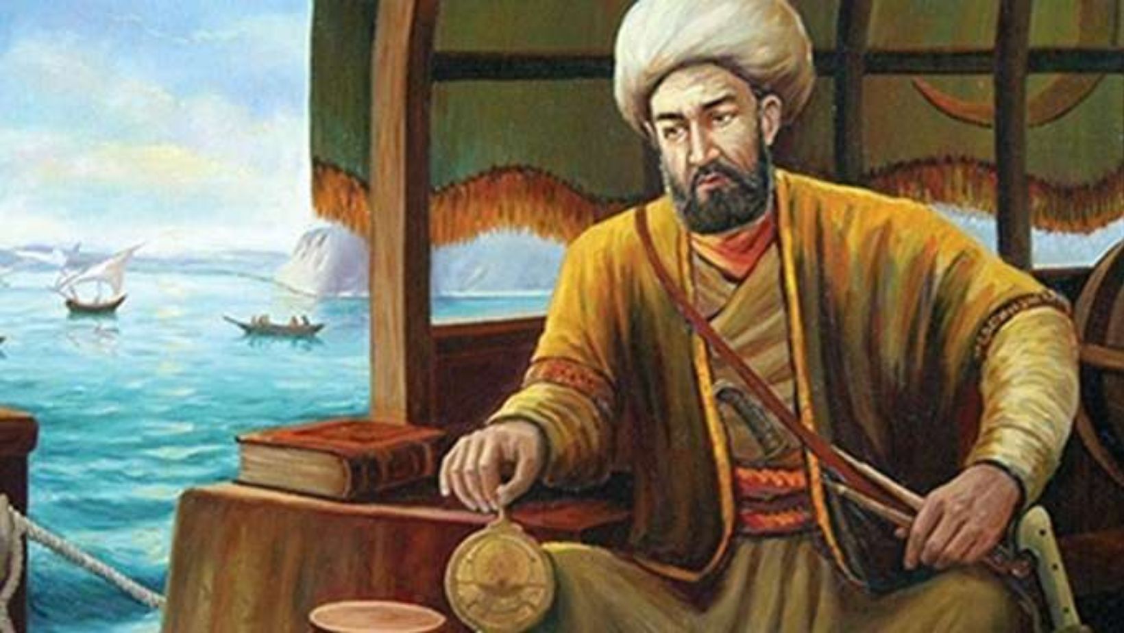
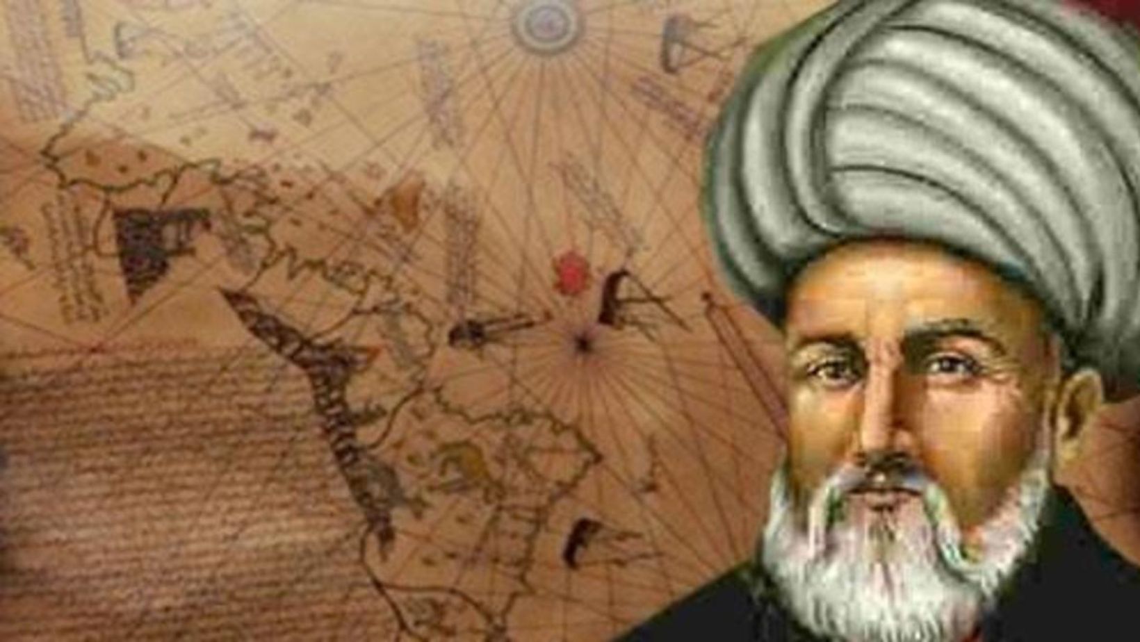
Piri Reis was an Ottoman admiral, navigator, and cartographer, born around 1465 in what is now Turkey. He served in the Ottoman navy and gained fame for his expertise in navigation and mapmaking. His most notable work is the Piri Reis Map, created in 1513, which depicted parts of Europe, Africa, and the Americas. This map remains a significant historical artifact due to its remarkable accuracy for the time.
Piri Reis is believed to have compiled his map using a variety of sources, including ancient maps, sailors’ reports, and his own firsthand knowledge. Some of these sources were reportedly derived from Christopher Columbus’s voyages, as well as earlier Mediterranean and Arabic maps. The map’s depiction of the South American coastline has led to speculation about lost knowledge or unknown expeditions. Despite this, Piri Reis’s work stands as an important achievement in Ottoman cartography and remains a subject of interest for historians and explorers today.
The Creation of the Piri Reis Map
The Piri Reis map is a world map created in 1513 by the Ottoman admiral and cartographer Piri Reis. It was drawn on a piece of parchment made from animal skin, showcasing a blend of earlier European and Islamic map-making techniques. The map is known for its detailed depiction of parts of Europe, Africa, and the Americas. The use of vibrant colors and meticulous lines demonstrates Piri Reis’s skilled craftsmanship.
The map’s materials included ink and natural pigments, common in map-making of the period. It is notable for its inclusion of the South American coastline, accurately portraying the coast of Brazil. Some believe the map shows parts of Antarctica, which has sparked debates over how Piri Reis could have known about it. The map’s construction likely drew from various sources, including earlier European explorers and unknown, lost maps.
The Piri Reis map was discovered in 1929 in the Topkapi Palace in Istanbul, bringing it to the attention of historians. Its significance lies in its accuracy and the mystery surrounding its origins. It stands out in historical cartography for its depiction of landmasses that were not widely known at the time. The map remains a subject of study and intrigue for scholars and cartographers alike.
The Unusual Accuracy of the Piri Reis Map
The Piri Reis Map, created in 1513, has intrigued historians and researchers due to its astonishing accuracy. One of its most notable features is the detailed portrayal of South America’s coastline. The map depicts the continent with remarkable precision, including the shape of the coastline, which aligns closely with modern maps. This level of accuracy is especially surprising considering the technology available in the 16th century.
Another mystery surrounding the Piri Reis Map is its depiction of Antarctica—without ice. The map shows the northern coastline of the continent in great detail, suggesting it was once free of ice, a theory that contradicts our current understanding. Antarctica’s ice sheets are believed to have formed long before the map’s creation, leaving many to wonder how the cartographer obtained such information. The map’s depiction of this icy continent challenges conventional history and raises questions about ancient knowledge.
The Mystery of Antarctica

The Piri Reis map, created in 1513, has long fascinated historians and cartographers. One of its most intriguing aspects is the depiction of Antarctica’s coastline, which was unknown to explorers at the time. The map shows the southernmost part of the continent with remarkable accuracy, suggesting that the cartographer had access to ancient sources of knowledge. This raises questions about how such a detailed image of Antarctica could exist centuries before its official discovery.
The accuracy of the Antarctic coastline on the Piri Reis map has led to various theories. Some believe that the map may have been based on older, lost maps from ancient civilizations with advanced navigational skills. Others speculate that the map’s creators might have had access to knowledge passed down through secretive sources. Regardless of the explanation, the map remains a compelling piece of history, suggesting a connection to long-lost geographic knowledge of Antarctica’s shores.
Connections to Ancient Global Navigation
Throughout history, ancient civilizations displayed remarkable feats of navigation. Evidence suggests that early explorers may have traveled vast distances using sophisticated methods. These techniques likely involved stellar navigation, using the stars to guide them across oceans. Some theories propose that ancient cultures, like the Egyptians and Polynesians, had an extensive knowledge of astronomy and maritime skills.
Many believe that civilizations like the Phoenicians, Greeks, and even the Maya explored beyond their known territories. The use of maps and celestial bodies to navigate oceans implies advanced knowledge. The possibility of long-distance voyages connects cultures across vast distances, suggesting a shared understanding of navigation. Some even argue that these civilizations may have reached the Americas long before the European explorers.
Artifacts such as ancient maps and shipwrecks provide clues about these early global connections. The Piri Reis map, for example, is a famous artifact that appears to show a detailed depiction of the South American coastline. It raises questions about how ancient civilizations might have mapped the world. These connections reveal the possibility of a sophisticated global network of exploration, far beyond what was previously believed.
Cartographic Anomalies: Why Are They Important?
Cartographic anomalies are unexplained features found on ancient maps that challenge our understanding of historical navigation. These anomalies include depictions of coastlines, islands, and landmarks that shouldn’t have been known or mapped at the time. For instance, the Piri Reis map shows Antarctica’s coastline, despite the continent being covered in ice and unknown to explorers at the time. Such maps raise questions about ancient knowledge and the possibility of lost civilizations.
These anomalies are important because they prompt us to rethink the capabilities of ancient navigators. They suggest that early explorers may have had access to more advanced methods or global knowledge than previously thought. Some researchers believe that ancient cultures may have shared information across continents, long before established trade routes connected them. Others propose that these maps reflect lost knowledge or even connections to civilizations that have disappeared.
By studying cartographic anomalies, historians and archaeologists challenge conventional views of ancient exploration. These maps could offer new insights into the extent of ancient global travel. The anomalies force us to question the origins of the mapmakers and the sources of their information. In doing so, they may unlock secrets about the ancient world that have been hidden for centuries.
Theories Behind the Map’s Origins
The Piri Reis map has sparked much debate over its origins. One theory suggests that ancient civilizations, like the Egyptians or Atlanteans, could have created maps with advanced geographic knowledge. These maps might have been passed down through the ages, influencing later cartographers like Piri Reis. Another theory posits that lost knowledge from prehistory, such as advanced navigation techniques, was rediscovered by later cultures.
Some believe that the map was sourced from earlier, unknown maps. These maps may have been created by seafaring civilizations that existed long before recorded history. It’s also possible that explorers like the Phoenicians, with their extensive maritime expertise, contributed to the map’s creation. The accuracy of the Piri Reis map suggests it could have been compiled from multiple sources, including other ancient maps.
Despite these theories, no concrete evidence has been found to confirm the exact origin of the Piri Reis map. Still, the idea that the map holds clues to forgotten knowledge continues to intrigue historians and researchers. Many believe that uncovering the true origins of the map could change our understanding of ancient navigation and geography.
Scientific Investigations and Controversies
The Piri Reis Map, dating back to 1513, has sparked numerous scientific investigations due to its accuracy and mysterious details. Researchers have focused on its depiction of the South American coastline and the Antarctic continent, which were unknown at the time. The map’s surprising accuracy has led to speculation that ancient civilizations possessed advanced geographical knowledge, long before modern exploration. Investigations often use satellite imagery, computer modeling, and historical records to analyze these features.
However, controversies persist among historians, archaeologists, and cartographers regarding the map’s origins and meaning. Some scholars argue that the map is a product of conventional exploration, with no extraordinary knowledge involved. Others suggest that it could be based on earlier, now-lost maps, possibly from a civilization with advanced navigational skills. The debate continues to divide experts, with some claiming that the map is evidence of ancient maritime technology, while others see it as a mere curiosity of the time.
These ongoing discussions highlight the complexity of understanding ancient cartography. Despite decades of study, no conclusive theory has emerged to explain the map’s accurate representation of regions unknown to explorers of the 16th century. The Piri Reis Map remains one of the most intriguing and controversial artifacts in the history of exploration.
What the Piri Reis Map Means for Our Understanding of History

The Piri Reis Map is a 16th-century document that offers fascinating insights into historical exploration and global navigation. It was created by Piri Reis, an Ottoman admiral and cartographer, and depicts the known world at that time, including parts of Europe, Africa, and the Americas. The map is most remarkable for showing portions of the coastlines of South America, the West Indies, and parts of North America—areas that were not well-documented until centuries later.
One of the most intriguing aspects of the Piri Reis Map is that it appears to draw from older sources and maps, suggesting it could contain evidence of earlier, potentially lost civilizations. Some scholars believe the map’s accuracy and detail may indicate that it was informed by ancient maritime exploration and cartography. However, critics argue that the map could have been created using known sources rather than rediscovered ancient maps.
The map’s depiction of Antarctica without ice cover is particularly notable. While this has been widely debated among historians, it raises questions about ancient knowledge of the continent’s geography before it was covered by ice. If true, this could suggest sophisticated maritime navigation and map-making techniques far earlier than previously believed.
Ultimately, the Piri Reis Map challenges our understanding of history, pushing historians to rethink timelines and the extent of ancient exploration and navigation. It serves as a window into a more complex past, where civilizations might have had advanced knowledge and technologies we have yet to fully understand.
Conclusion: The Mystery of Piri Reis Map: Evidence of Prehistoric Global Navigation?
In conclusion, the Piri Reis map continues to captivate historians and researchers alike, with its depiction of the world that challenges conventional views of ancient cartography. Its accurate representation of Antarctica—without ice—raises questions about the ancient civilizations’ knowledge of the world. While many aspects of the map remain unexplained, it sparks ongoing debates about the possibilities of lost civilizations and advanced ancient knowledge. As a mysterious artifact, the Piri Reis map holds the potential to reshape our understanding of history, urging further investigation into the ancient world and its untold secrets.
FAQs About The Mystery of Piri Reis Map: Evidence of Prehistoric Global Navigation?
What is the Piri Reis Map?
The Piri Reis Map is a world map drawn by the Ottoman admiral and cartographer Piri Reis in 1513. It is famous for its unusual and highly accurate depiction of parts of the Americas, Europe, and Africa, particularly considering the time period.
Why is the Piri Reis Map considered mysterious?
The map is considered mysterious due to its surprising accuracy in showing the South American coastline and Antarctica—regions that were not explored in detail until centuries later. Some researchers have speculated that it contains evidence of ancient advanced navigation techniques or lost civilizations.
What is the significance of the map’s depiction of Antarctica?
One of the most intriguing features of the Piri Reis Map is its accurate representation of the northernmost part of Antarctica, which was covered by ice at the time. Some theories suggest that the map was based on ancient sources that depicted Antarctica before it became frozen, potentially hinting at prehistoric global navigation.
Who created the Piri Reis Map, and what was its purpose?
Piri Reis, a Turkish admiral, created the map as part of a larger compilation of knowledge from various sources, including ancient and medieval maps. The map’s purpose was likely to provide navigational reference for sailors of the time, but it also serves as a historical document showcasing the geographical knowledge of the era.
What are the theories about the origins of the Piri Reis Map’s accuracy?
Several theories exist about how the map achieved such precise detail. Some suggest that the map was based on ancient, lost maps passed down through civilizations. Others propose that it may be evidence of a highly advanced prehistoric civilization capable of global exploration. Despite these theories, the true origins of the map remain a mystery.

